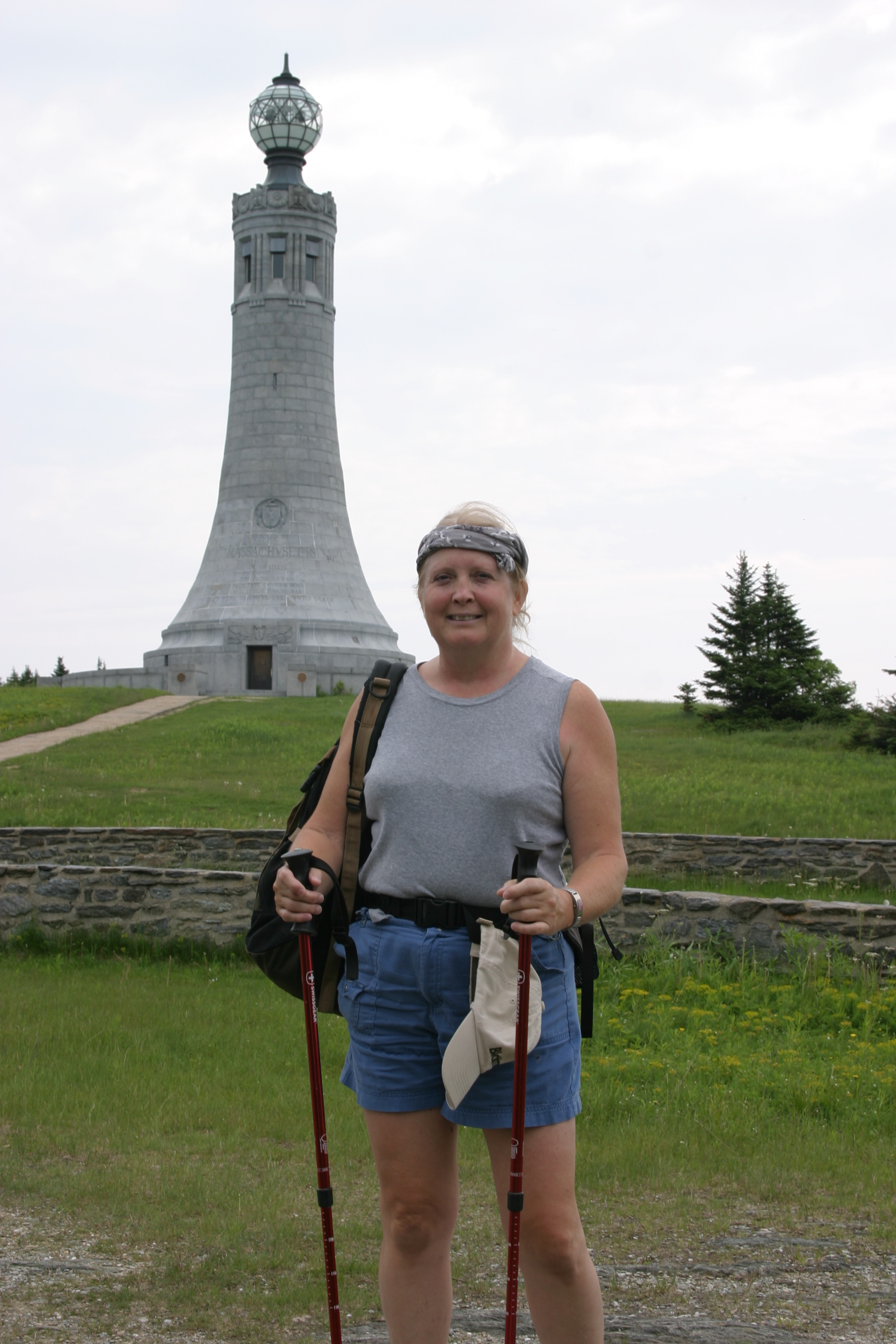
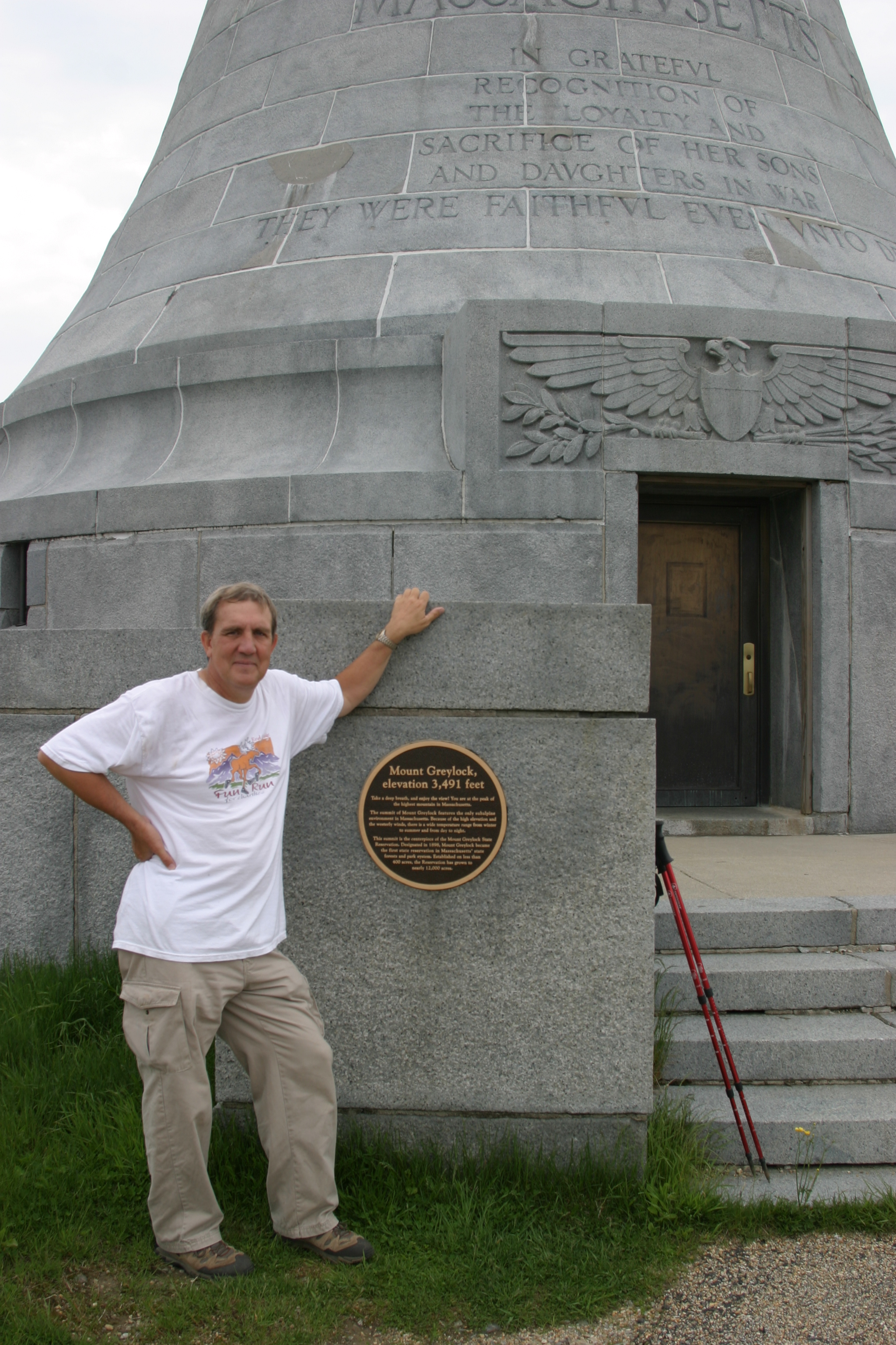
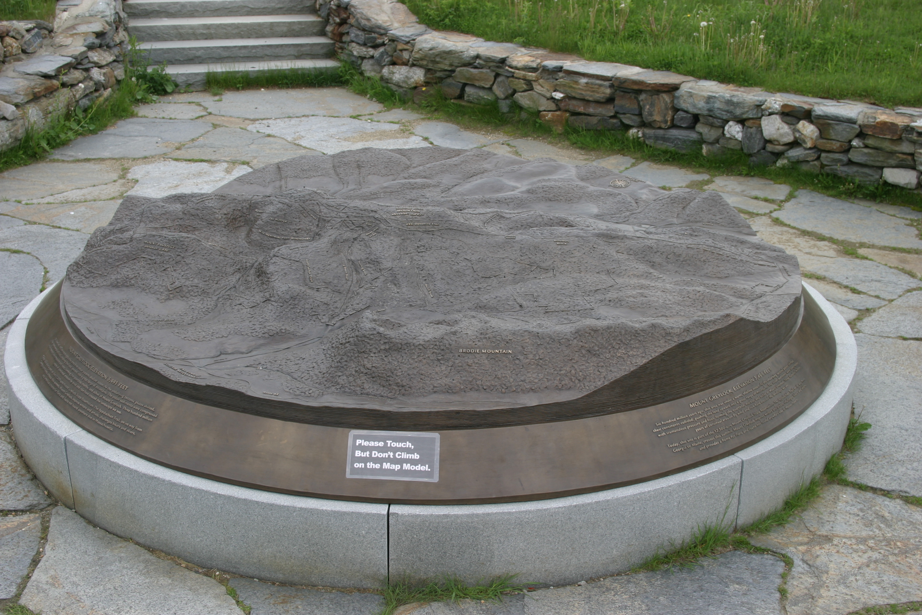
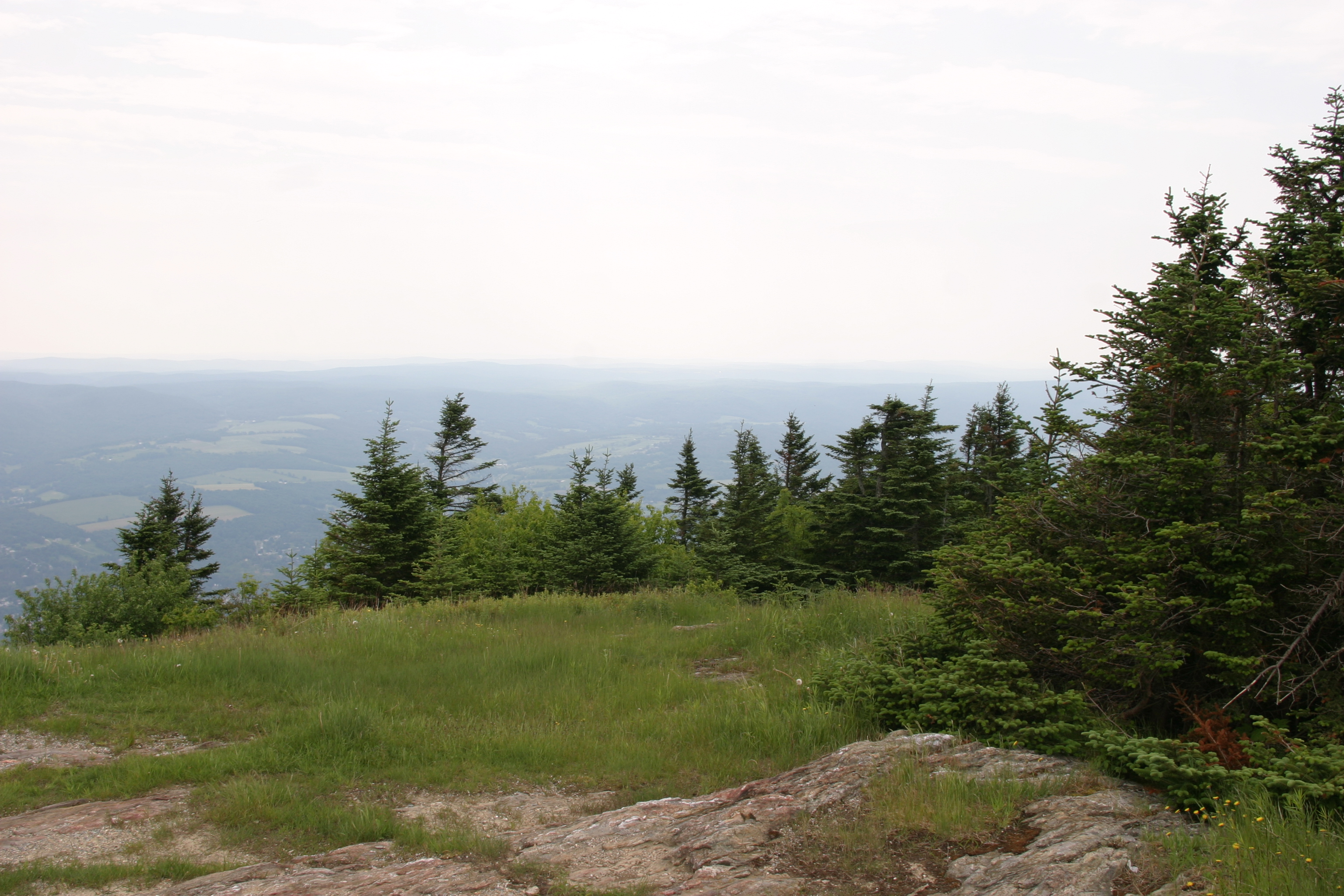
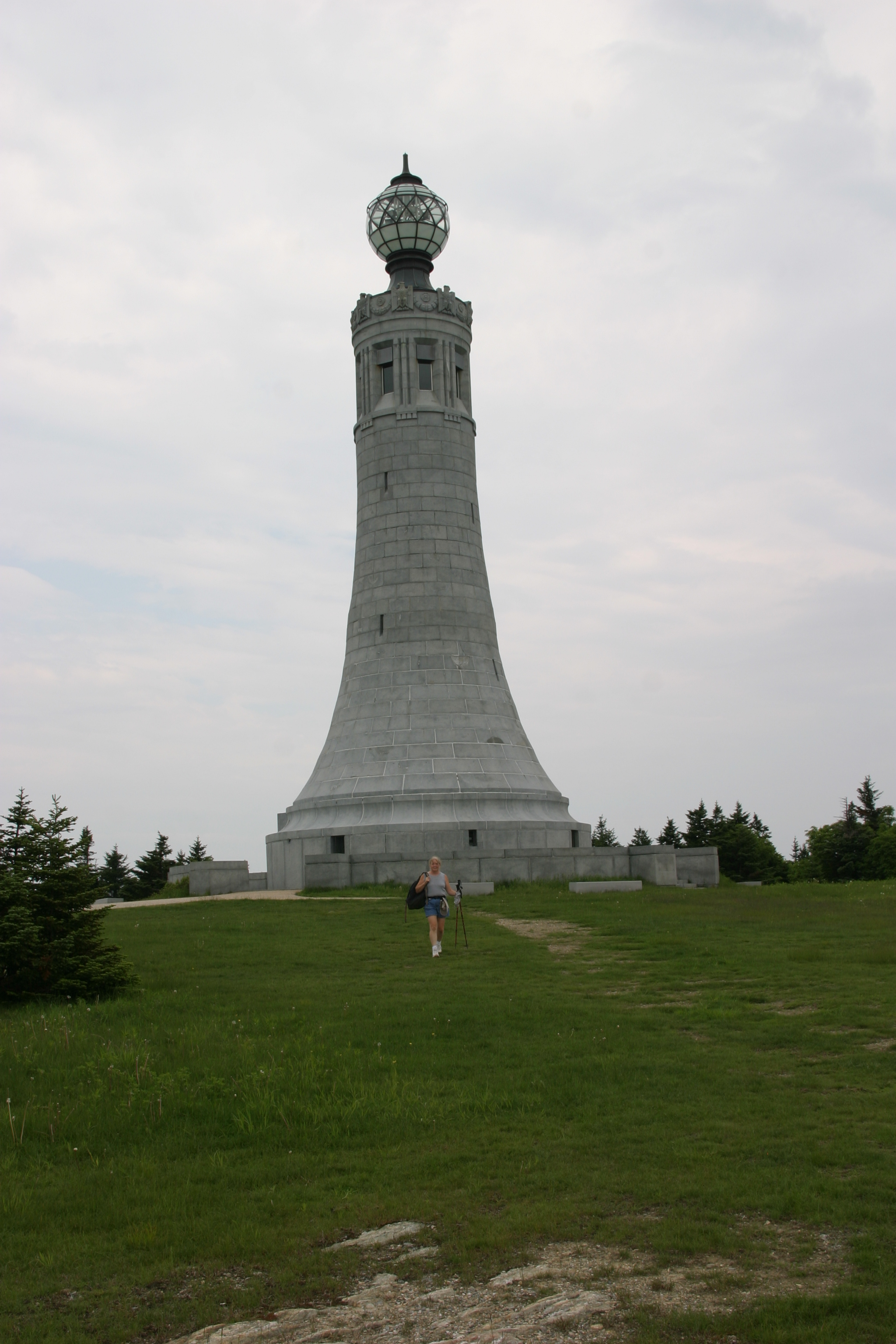
Mount Greylock, Massachusetts
3491 ft
20 ft vertical gain
0.1 miles round trip
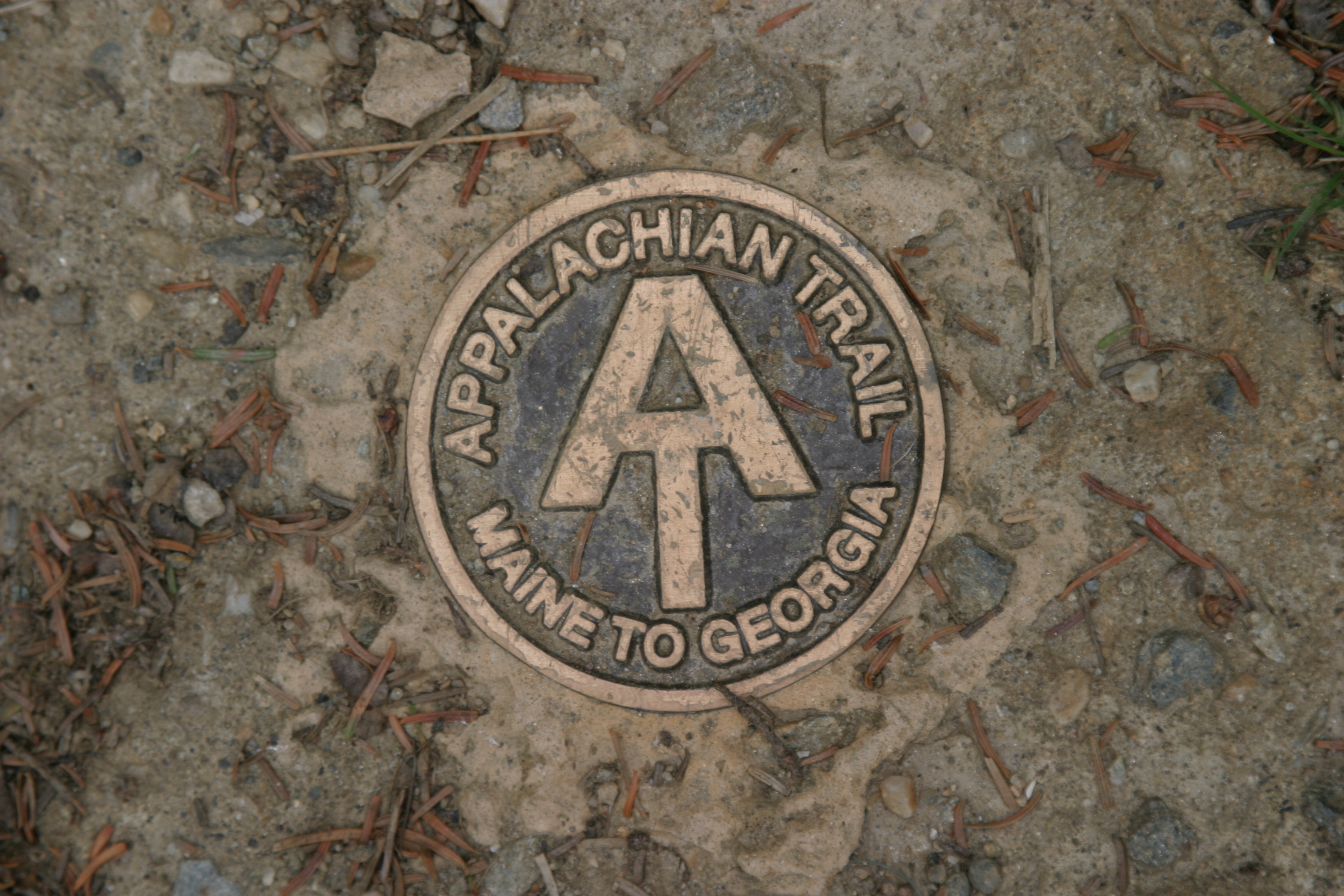
Directions